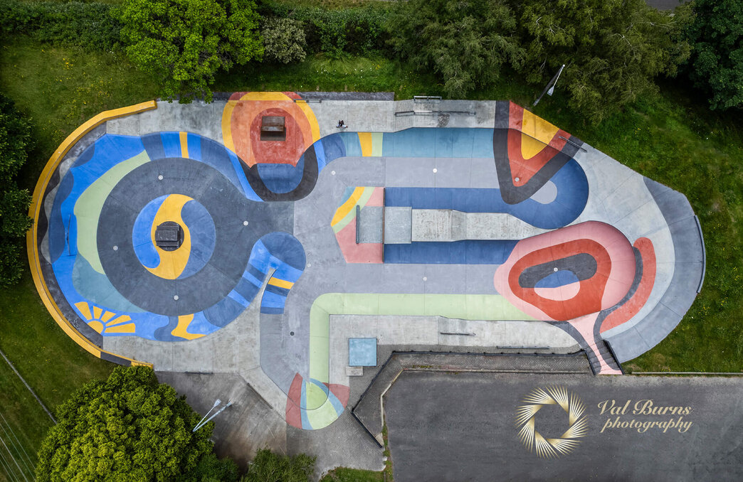
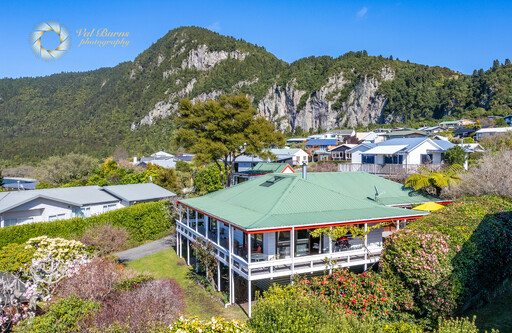
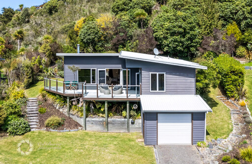
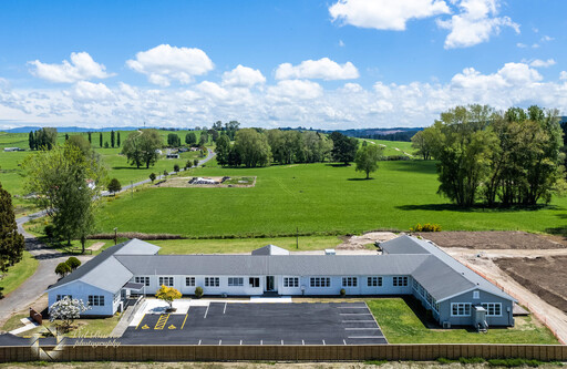
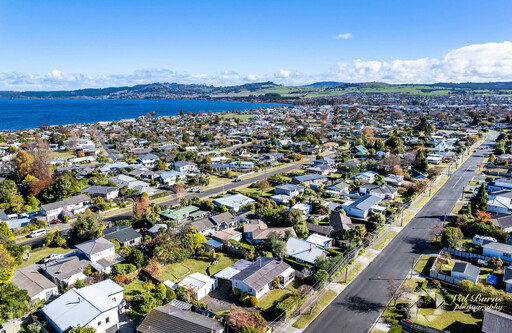
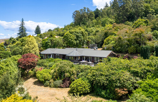
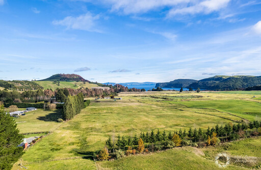
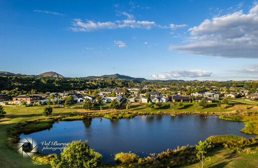
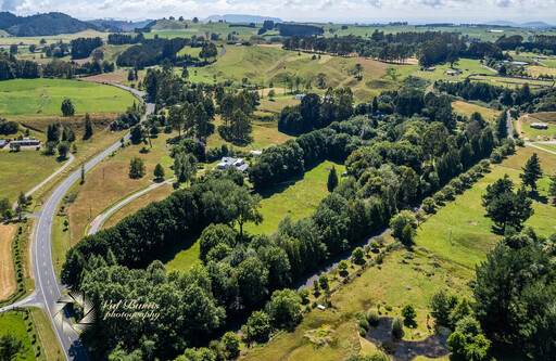
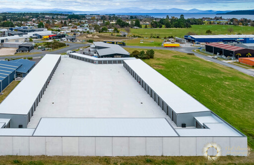
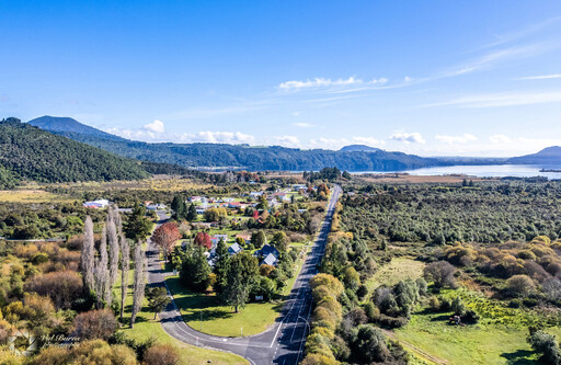
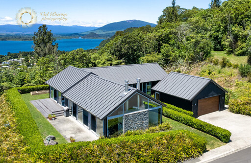
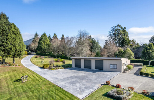
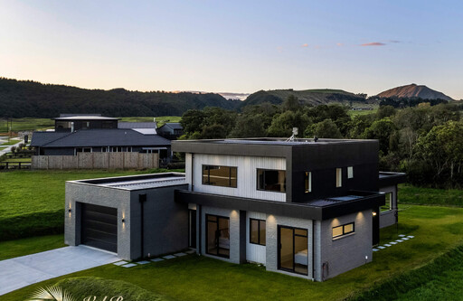
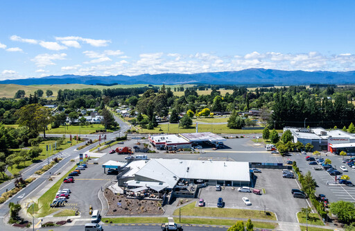
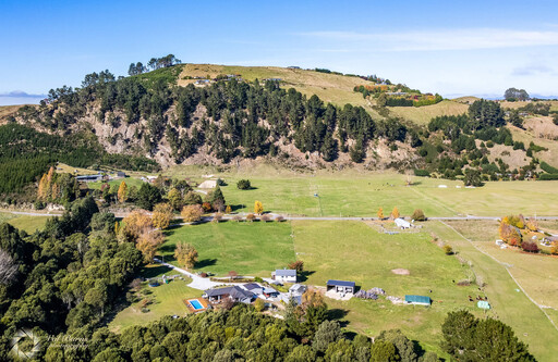
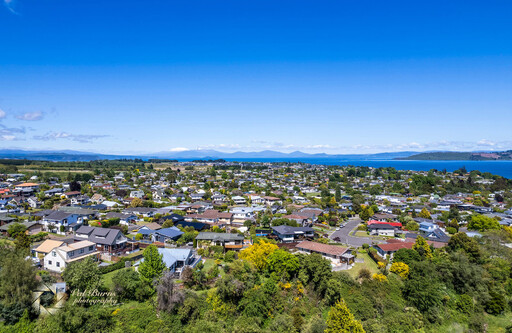
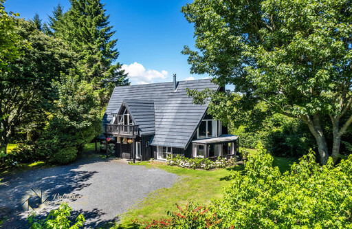
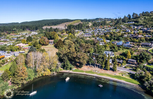
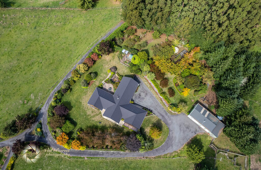
Drone Photography
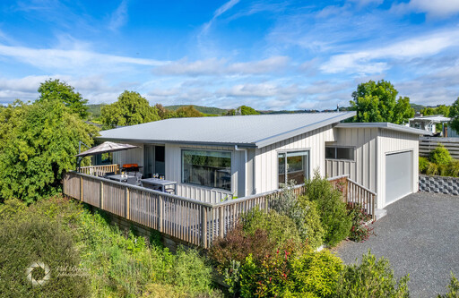
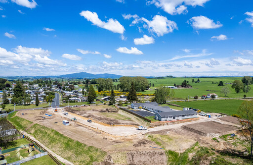
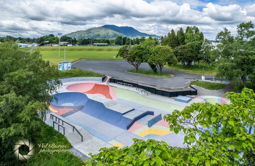
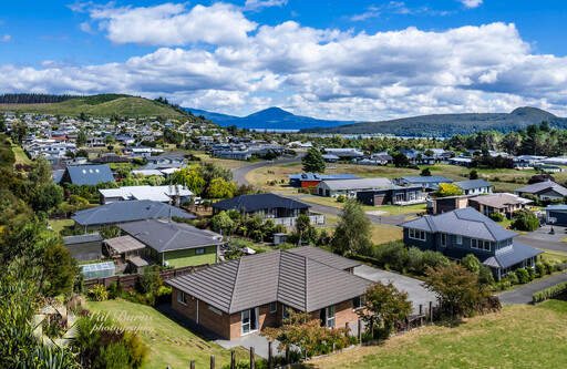
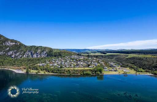
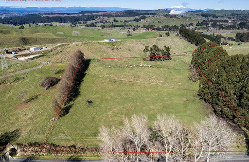
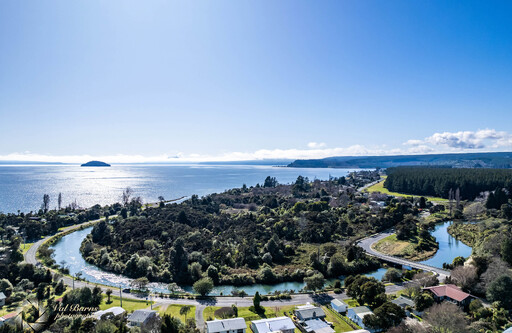
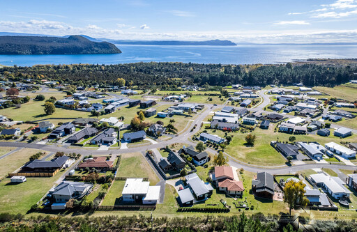
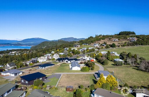
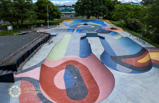
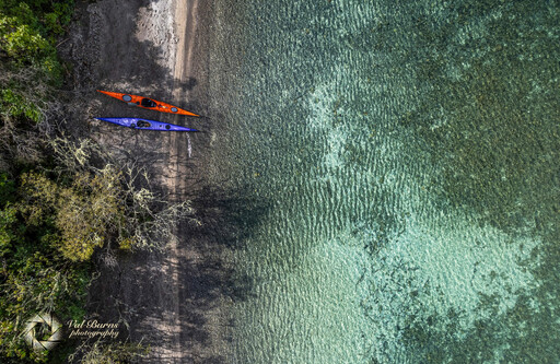
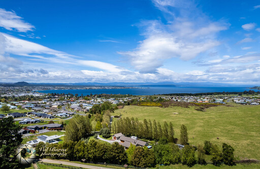
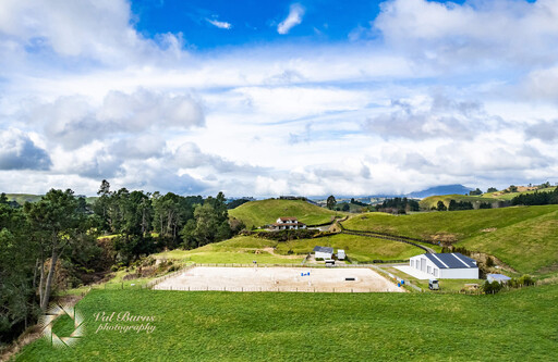
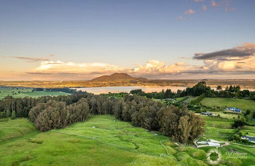
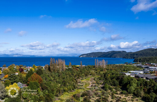
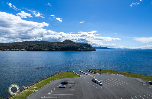
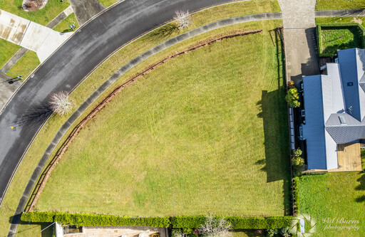
Drone photographs provide perspective of where the property is situated (in regard to the lake, river, town, bush or other homes). They can be used to show the size of a parcel of land and what buildings are on the land. Drone photographs tell the full story of the lay of the land. The views from just 60m can be amazing.
Val is a certified CAA NZ 101 drone pilot.
Photos processed within your time frame.
Prices begin at $170